
"Blue Growth 2016"
θέματα των πελατών μας στο συντομότερο δυνατό χρόνο. Εκμεταλλευόμενοι τις
πιο σύγχρονες τεχνολογίες κερδίζουμε πολύτιμο χρόνο, μειώνοντας δραστικά το κόστος.
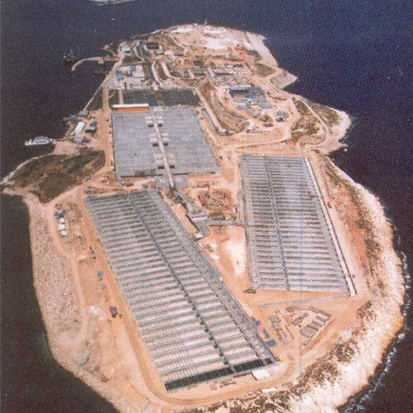
από την Bureau Veritas
θέματα των πελατών μας στο συντομότερο δυνατό χρόνο. Εκμεταλλευόμενοι τις
πιο σύγχρονες τεχνολογίες κερδίζουμε πολύτιμο χρόνο, μειώνοντας δραστικά το κόστος.
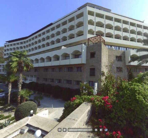
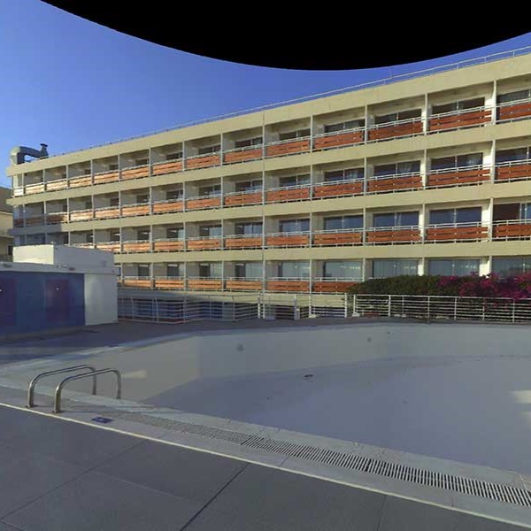
Plagos Beach Ζακύνθου
θέματα των πελατών μας στο συντομότερο δυνατό χρόνο. Εκμεταλλευόμενοι τις
πιο σύγχρονες τεχνολογίες κερδίζουμε πολύτιμο χρόνο, μειώνοντας δραστικά το κόστος.
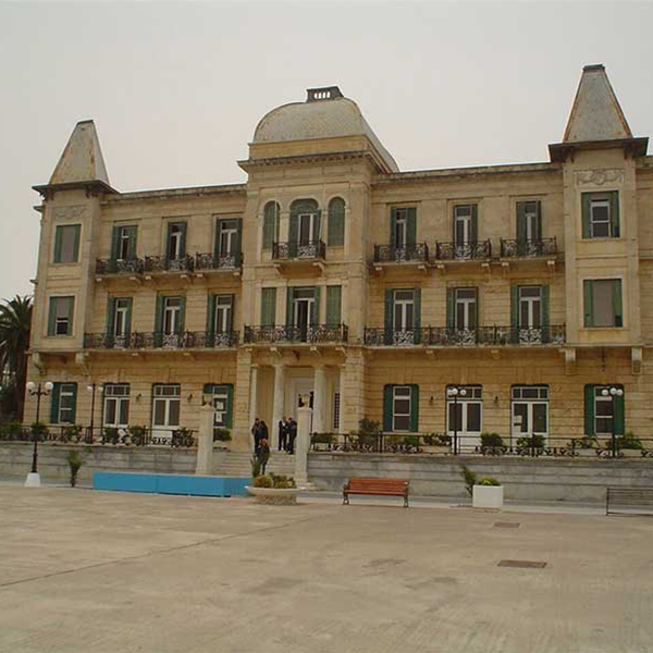
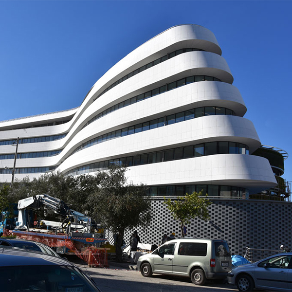
Ναού της Αναστάσεως
θέματα των πελατών μας στο συντομότερο δυνατό χρόνο. Εκμεταλλευόμενοι τις
πιο σύγχρονες τεχνολογίες κερδίζουμε πολύτιμο χρόνο, μειώνοντας δραστικά το κόστος.
ΥΠΗΡΕΣΙΕΣ
Εξασφαλίζουμε πλήρη κάλυψη σε όλα τα
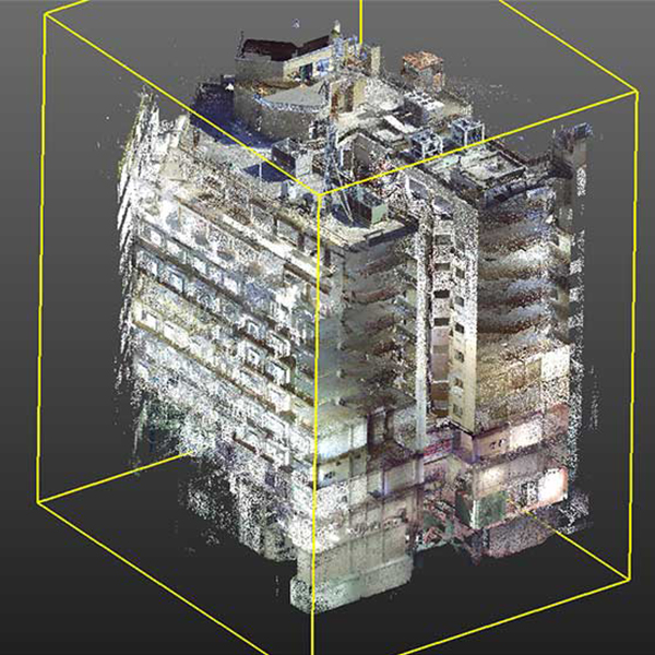
θέματα τοπογραφίας-φωτοερμηνείας


Η ΕΤΑΙΡΕΙΑ
Με έδρα την Αθήνα εξυπηρετούμε εργοτάξια
σε ολόκληρη την Ελλάδα και εξωτερικό
01
02
03
ΠΕΛΑΤΕΣ
Μοιραζόμαστε το ίδιο όραμα και χτίζουμε μακροχρόνιες σχέσεις εμπιστοσύνης.


ΕΡΓΑ & ΜΕΛΕΤΕΣ
Η άρτια κατάρτιση των μηχανικών μας εξασφαλίζει
ένα ευρύ φάσμα υπηρεσιών σε υψηλή ποιότητα


